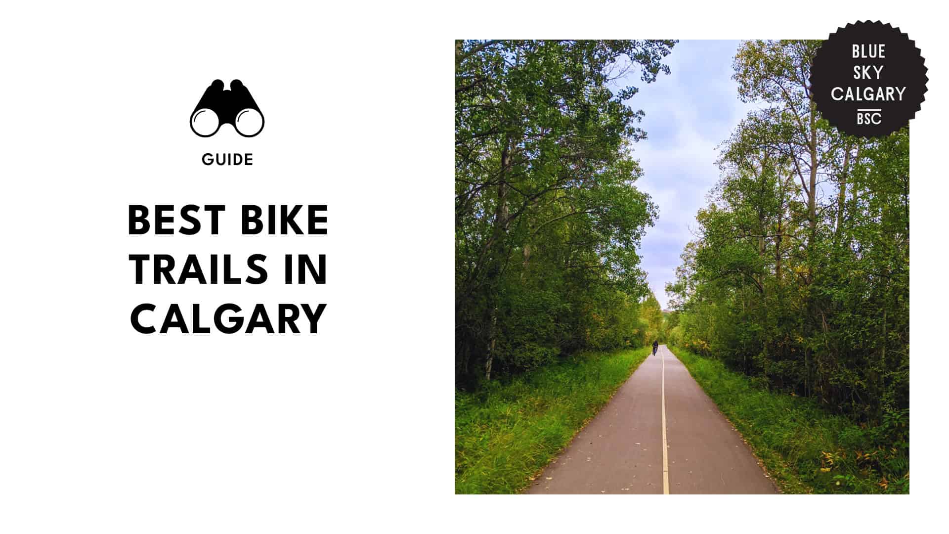
We hit every bump and bend on Calgary’s best bike trails—and we’d do it all over again!

I remember my first attempt at Calgary’s bike trails—it started with high hopes and a shiny new water bottle, and ended with legs I could barely lift and a sunburn that lasted a week!
From coasting down Glenmore Reservoir with a view that just doesn’t quit to somehow managing not to get lost in Fish Creek Provincial Park’s endless twists and turns, each trail felt like a mini adventure in its own right.
If you’re up for breathtaking scenery, a solid workout, and the occasional “Am I going the right way?” moment, Calgary’s bike trails are calling your name. Read on for a guide to the city’s best trails!
Explore the Scenic Pathways At Glenmore Reservoir Loop
Address: 6909 14 St SW
Distance: 15.4 kilometers (8 miles)
Trail type: multi-use trail
The Glenmore Reservoir Loop offers a scenic ride around the entire reservoir, hugging the edge of a high escarpment for some truly spectacular views. You’ll see the Elbow River flowing into the reservoir far below as you pedal along.
This loop is one of Calgary’s top cycling routes. It’s mostly a shared pathway, so watch out for blind corners on the south side, as it can get pretty busy.
The trail is fully paved, giving you smooth riding conditions, and at times, it’s so peaceful, you’d hardly know you’re still in the city.
Rest stops include porta-potties, and you’ll find coffee (and indoor bathrooms) close by at Glenmore Landing. It’s a beautiful, urban escape with all the perks!
| Pro tip: If you’re taking the bus, the #20 conveniently stops just up the hill in the parking lot behind this spot! |
Discover the Natural Beauty Along the Bow River Pathway
– Media credit: levotron
Address: 4320 Bow River Pathway
Distance: 42 kilometers (27 miles)
Trail type: multi-use trail
The Bow River Pathway offers a serene riverside ride along Calgary’s Bow River, stretching an impressive 48 kilometers (30 miles) from Bearspaw Dam all the way to Fish Creek Provincial Park, connecting many of the city’s major parks and green spaces.
Originally constructed in 1975 to celebrate Calgary’s centenary, this pathway has become a favorite for locals.
Start your ride at Carburn Park, where a few stunning lakes await. From there, the trail takes you through lush parkland, with a mix of unique plants and wildlife that makes you feel miles away from city life.
Our favorite part is the Carburn Loop—it’s gorgeous and peaceful, though often lively with other cyclists. If you’re downtown, it’s a bit of a trek, but on a nice day, it’s well worth it!
The trail becomes even more enchanting in the fall, as the trees put on a colorful show. Plus, there are plenty of other trails branching off near the Bow River—definitely worth exploring!
| Pro tip: North of Ogden, the canal trail gets rough—there are four barriers to navigate, plus a low bridge that requires ducking to avoid hitting your head. We’d recommend skipping this section. |
Pedal Your Way Through the Vibrant Trails of Fish Creek Provincial Park
– Media credit: tpbarber
Address: 14428 Bannister Rd SE
Distance: 100 kilometers (62 miles)
Trail type: paved and unpaved trails
Fish Creek Provincial Park is a serene escape, especially on weekdays when it’s nearly empty. It’s the perfect spot to connect with nature. The park’s bike trails are rugged and hilly, offering a fun challenge for all skill levels.
With extensive, well-maintained trails, Fish Creek has something for everyone—from BMX tracks to mountain biking paths, and even smooth paved pathways that families can enjoy. Wildlife sightings are a given, with everything from a variety of birds to beavers, and, naturally, fish.
Memorial tree groves add a peaceful touch, honoring those who have passed. Altogether, it’s a beautiful spot to spend time in nature.
| Pro tip: Heads up if you’re taking the bike paths—some sections may be flooded. You can skirt around the edges to get through, but be prepared for a bit of maneuvering! |
Venture Into the Serene Landscapes of Bow River Pathway – Fish Creek Loop
– Media credit: tourismcalgary
Address: 15979 Bow Bottom Trail SE
Distance: 83.8 kilometers (52 miles)
Trail type: paved and unpaved trails
This pathway winds through Calgary’s natural corridors, offering plenty of trail splits—just keep an eye out for the Greenway North signs to stay on track.
The Bow River Pathway within Fish Creek Park is a picturesque biking route with endless photo ops along the river and through Lafarge Meadows.
You’ll get stunning views from the ridge, not only of the Bow River valley but also stretching out to the Rocky Mountains.
Keep an eye out for a short, steep descent that leads down to the Bow River and a pedestrian bridge crossing the river—a spot that’s definitely worth the ride!
| Pro tip: This route is excellent for road bikes—just watch out for the northern tip near the final bridge, where it gets a bit tricky! |
Immerse Yourself in Nature at Glenmore Reservoir to Heritage Park Loop
– Media credit: heritageparkyyc
Address: 1900 Heritage Park SW
Distance: 14.5 kilometers (9 miles)
Trail type: multi-use trail
The Glenmore Reservoir to Heritage Park Loop is a 14.5 km road biking trail that offers a moderate challenge as it winds around the Glenmore Reservoir.
This scenic loop treats riders to stunning water views, lush forests, and, on clear days, even a glimpse of the Rocky Mountains in the distance.
Along the way, you’ll pass through parks, wooded areas, and cross bridges, showcasing a variety of beautiful landscapes. Perfect for intermediate riders, this trail strikes a balance between a peaceful ride and an engaging workout.
| Pro tip: Though the trail is moderate, it’s always good to stay hydrated and bring along snacks, especially if you’re planning to stop at Heritage Park. |
– Media credit: nosarious
Address: 85 St NW
Distance: 6.1 kilometers (9 miles)
Trail type: multi-use paved pathway
Bowmont Park offers a fantastic cycle path with some impressive viewpoints. You can start your loop in Bowness Park, on the south side of the Bow River, then cross the Hextall Bridge and pedal up the 52nd Street hill to Bowmont Park’s pathway along the river’s north side.
If you turn at Maranatha Church, you’ll ride about halfway up the riverbank. (For a higher vantage, continue up 52nd Street to reach the top and another pathway along the river’s upper edge).
This lower pathway, roughly 30 meters above the river, has balcony-like viewpoints with railings—perfect for pausing to take in the scenery.
Further along, a long downhill path brings you back to the Bow River, where you’ll cross back to Bowness Park via a pedestrian bridge suspended from the Stoney Trail bridge, more than 30 meters above the water.
Fully paved and accessible, this route promises a smooth ride with stunning river views.
| Pro tip: You can stick to the regular paved path—just watch out for icy spots in the winter months—or venture onto some of the trails that wind through the park for a change of scenery. |
Enjoy Sweeping City Views from Nose Hill Park
– Media credit: crankedbikeshop
Address: 6465 14 St NW
Distance: 11 kilometers (6 miles)
Trail type: rugged, hilly terrain
Nose Hill Park is a top choice for mountain biking in Calgary. It has everything from technical mountain biking trails to a paved path for those looking for a smoother climb.
The park’s diverse trails range from challenging mountain routes to easy gravel paths, with plenty of interesting stops along the way—a rock maze, Glacier Hill, ponds, and unique rock formations.
Spanning a huge area, Nose Hill Park never feels crowded, even on weekends. With sweeping views of downtown Calgary and countless photo spots, it’s perfect for anyone wanting a nature escape without leaving the city. Highly recommended!
| Pro tip: If you’re up for a hill climb, this spot is great on foot too. Plus it’s amazing to watch how each side of the hill transforms with the changing seasons. |